Woodburn, Nova Scotia
Woodburn Geography
- Official Name: Woodburn
- Geographic Feature Type Category: Populated Place
- Geographic Feature Type: Community
- Latitude / Longitude: 45.6174, -62.523847
Woodburn Maps
- 1:50k Topographic NTS Maps: 011E10
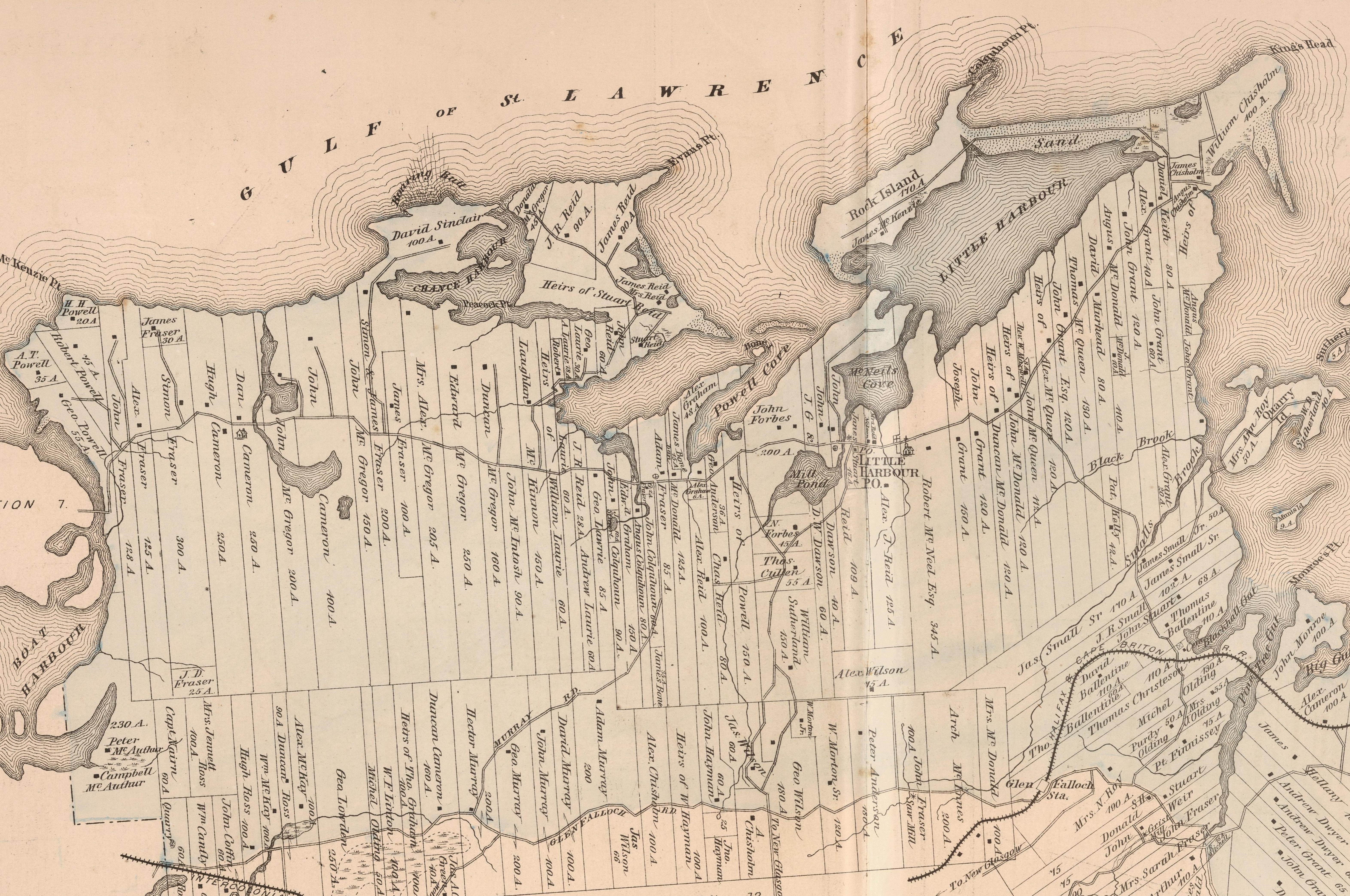
- 1879 Pictou County Atlas Map: Section 14
- Nova Scotia Land Grant Map: NS Land Grant map 093
- Nova Scotia 1:10k Topographic Map Number: 1045600062500 (Little Harbour)

About Woodburn
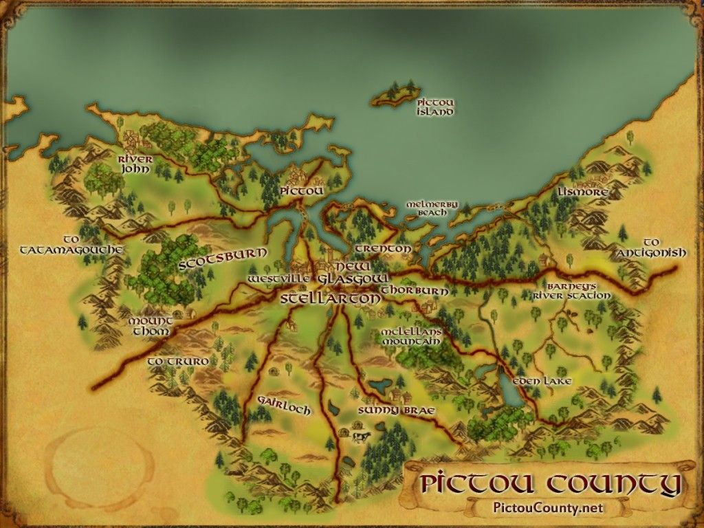
Woodburn, is a rural community located south of Kings Head along the west end of Merigomish Harbour. It was originally known as the Pine Tree Gut but later renamed Woodburn after John Wood, who received a grant of land here in 1810, combined with the Scottish word, “burn” means a rivulet or brook. The community name was also once spelled Woodbourne, (which you can notice on the original Land Grant map for the area) but changed to Woodburn in 1948.
A school was built In 1821 located on School House Hill (just off the Woodburn Road).
The first post office in the Little Harbour area opened at Woodburn in 1874, but closed eventually in 1934.
“The Mic Mac Indians were always friends with the settlers and their descendants. Al one time, there was a settlement of Indians along the Pine Tree Gut in Woodburn. A smallpox epidemic broke out. Those that passed away were buried and the survivors moved across the railway track where many lived until recent years.
The first car that was owned in February 1917, it belonged to Mr. McCully, who was station agent at the Glenfalloch Railway Station al Woodburn.
Woodburn was once known for its early market vegetables. Gradually farming declined, with the older people passing away and the younger people going on to other things. ” some of the information about Woodburn from the book Along the shore of Little Harbour
 More History …
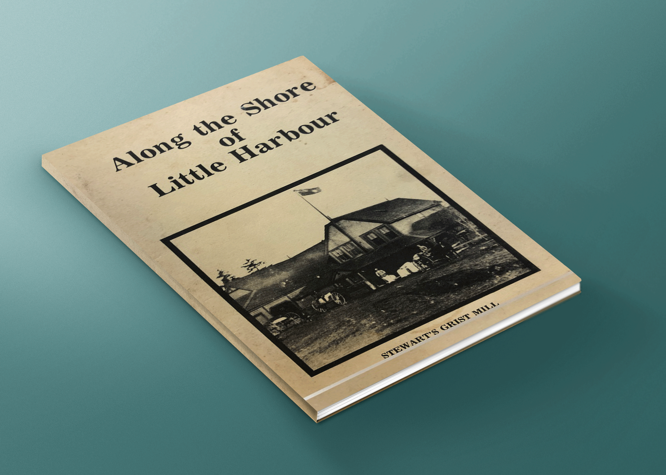
Along the shore of Little Harbour by Marie Cullen, Shirley Aikens, & Margaret Forbes, is a great resource for stories and history of Little Harbour and surroundings area (Anderson Mountain, Black Point, Boat Harbour, Chance Harbour, Kings Head, Little Harbour and Woodburn).
It provides details about many of the families that first settled the area, businesses, industry, hard ships, churches, schools, fire stations, and more. This book is now available to read online.
Local Information …
Using the crowd sourced Find a Grave App, you can search the Woodburn Cemetery for names, photos, various details and more.
[Source: Nova Scotia Place Names – T. Brown / Places of Nova Scotia – C. Bruce Fergusson / Along the shore of Little Harbour – M. Cullen, S. Aikens, & M. Forbes]
Disclaimer
Historic details included in the Pictou County Place Names Atlas will always include source of information when available, and is intended for educational purposes (we have not taken the time to validate any claims).
Links to other sites and historic resources are shared for informational purposes; they do not necessary constitute an endorsement or an approval by PictouCounty.net. We have no control over the content on any other sites (as people can change content from time to time). We make no claims or guarantees about the accuracy or currency of the contents and expressly disclaim liability for errors and omissions in its contents.
You understand and agree that any material downloaded or otherwise obtained through the use of this website is done so, at your own risk and discretion and that you will be solely responsible for any damages to your computer system (or electronic device) or loss of data that may result from downloading any such material (or sites linked to from this site).


