Nova Scotia Counties Map
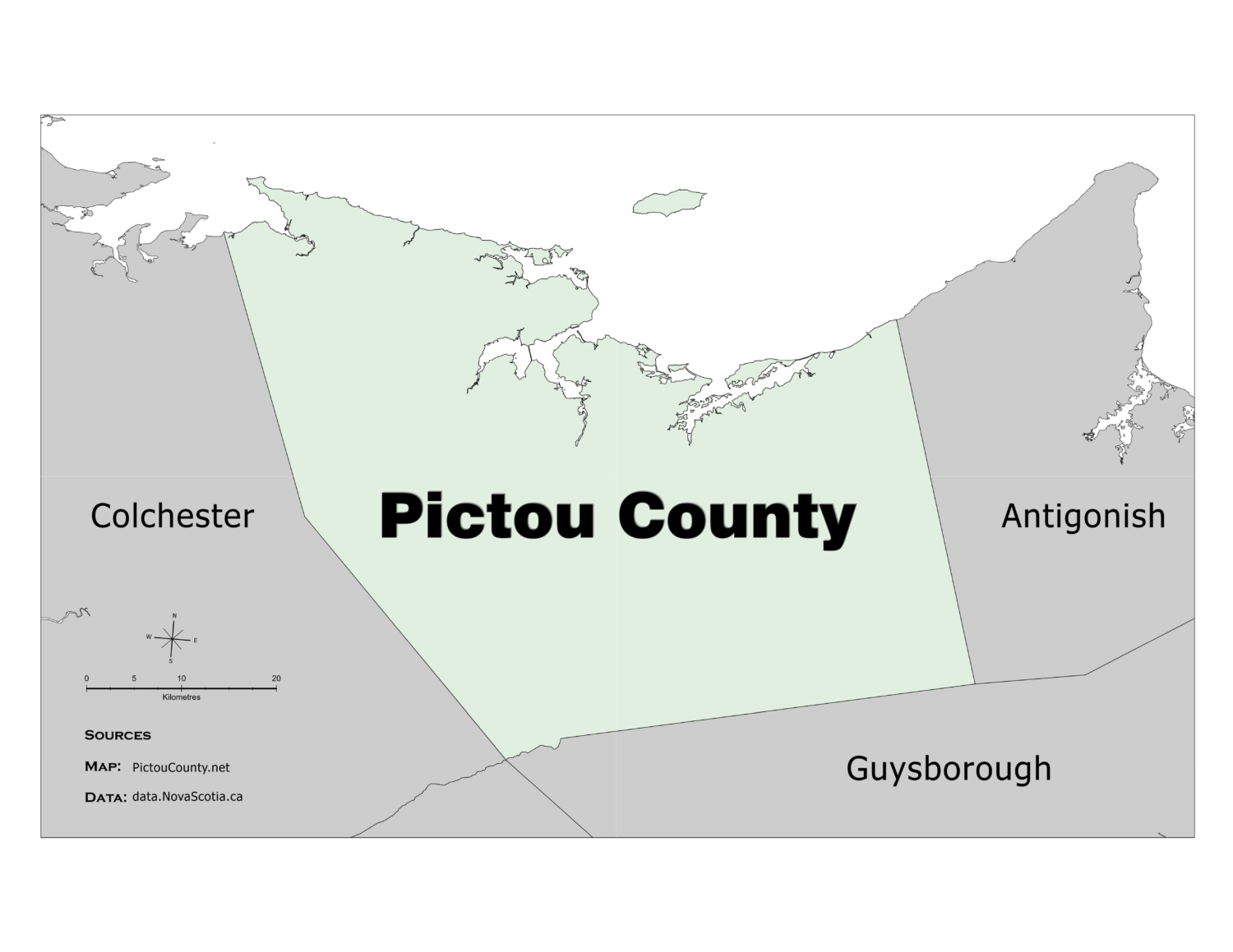
Pictou County Boundary Map (basic)

Nova Scotia Counties Map

Nova Scotia County Map

We have created some basic maps using geospatial data available through the Nova Scotia open data website. The Nova Scotia county map represents the geospatial extent of all the counties that make up the Province of Nova Scotia, they include boundaries and names of the Counties. A second version incudes Pictou County highlighted in color.

Download a digital copy of the Nova Scotia Counties Map (also included below in an interactive window)

or download the alternate map with Pictou County highlighted in color. (also included below in an interactive window)

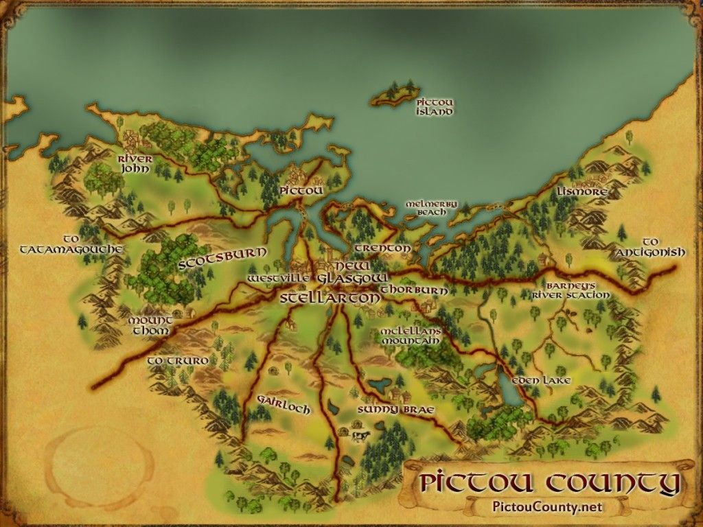
Disclaimer

Please note that the maps provided on PictouCounty.net are meant for general informational and educational purposes only.

They are non authoritative and should not be used for defining boundaries or any other legal purposes.  Although we are cartographers and do create maps for this site, in most cases we are providing maps created by others. However, we do our best to provide details about any maps shared, including references to both the creators and map providers.

By using PictouCounty.net, you are acknowledging and accepting all inherent limitations of any maps or data included on this site. We make no claims or guarantees about the accuracy or currency of the contents of this website and expressly disclaim liability for errors and omissions in its contents.

You understand and agree that any material downloaded or otherwise obtained through the use of this website is done so, at your own risk and discretion and that you will be solely responsible for any damages to your computer system (or electronic device) or loss of data that may result from downloading any such material (or sites linked to from this site).