Chance Harbour, Nova Scotia
Chance Harbour Geography
- Official Name: Chance Harbour
- Mi’kmaq Name: Menpekwijk – meaning erosion
- Geographic Feature Type Category: Populated Place
- Geographic Feature Type: Community
- Latitude / Longitude: 45.671267, -62.605953
Note: The name Chance Harbour also refers to the hydrographic feature: Harbour. A sheltered body of water near the coast partially covered by land, often ideal for boats to be docked.
- Official Name: Chance Harbour
- Geographic Feature Type Category: Hydrographic Feature
- Geographic Feature Type: Harbour
- Latitude / Longitude: 45.672496, -62.573633
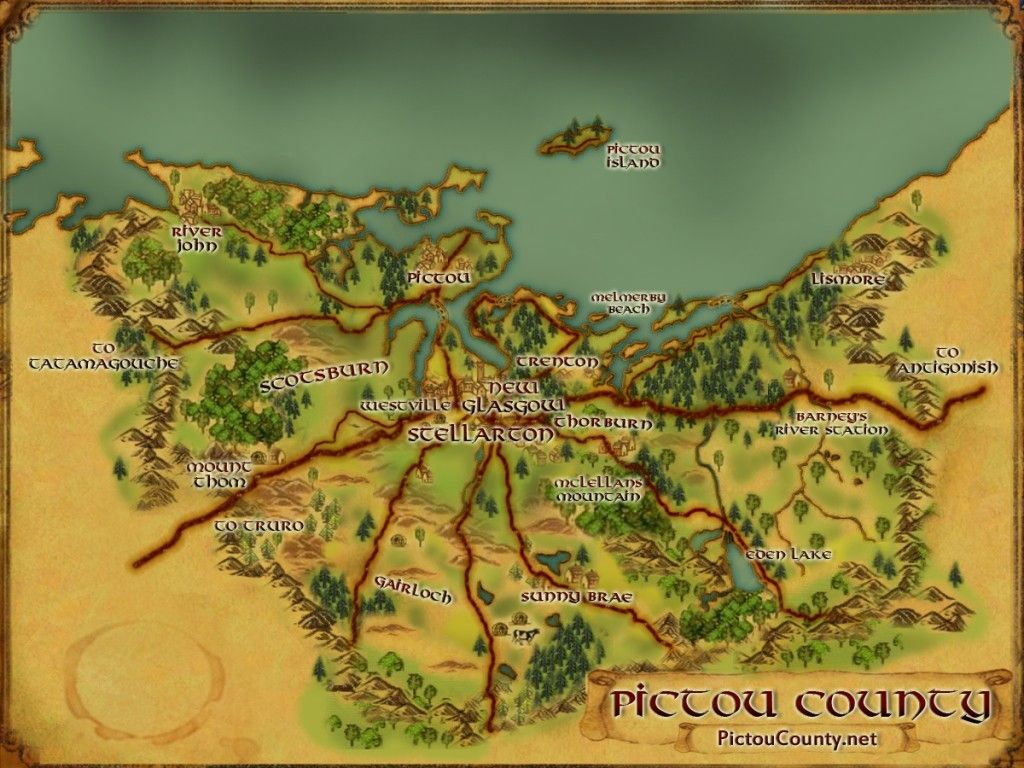
Chance Harbour Maps
- 1:50k Topographic NTS Map: 011E10
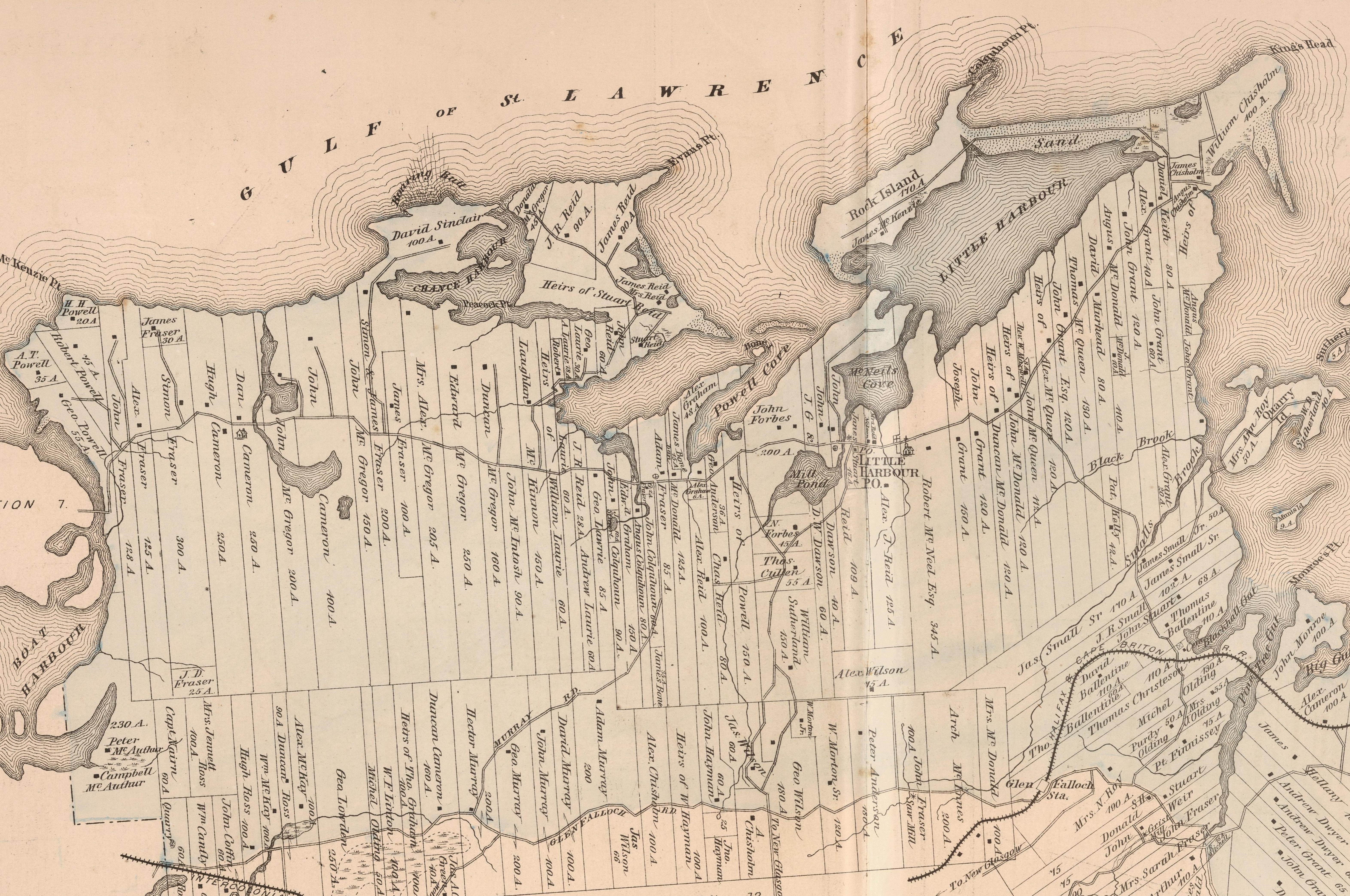
- 1879 Pictou County Atlas Map: Section 14
- Nova Scotia Land Grant Map: NS Land Grant map 092
- Nova Scotia 1:10k Topographic Map: 1045650062500 (Chance Harbour)
- Other Maps:

About Chance Harbour
Chance Harbour is a coastal community found along the Northumberland Strait located between Pictou Landing and Little Harbour. The name dates back at least to 1829 and was selected by sailors because navigation into its shallow and unprotected waters was always somewhat risky. Entrance to the harbour is about half between Roaring Bull Point and Black Point (formerly Evans Point)
Land was granted to members of the disbanded 82nd Regiment in 1785 and settlement was begun by 1838.
A school house was built here in 1886, and postal way office in 1914.
Following the First War the areas sandy beaches attracted numerous summer cottagers, and by the end ol the Seeond War much of the coastal area was occupied up by summer homes.
A breakwater was built in 1965 to aid lobster fishermen.
For more history see …
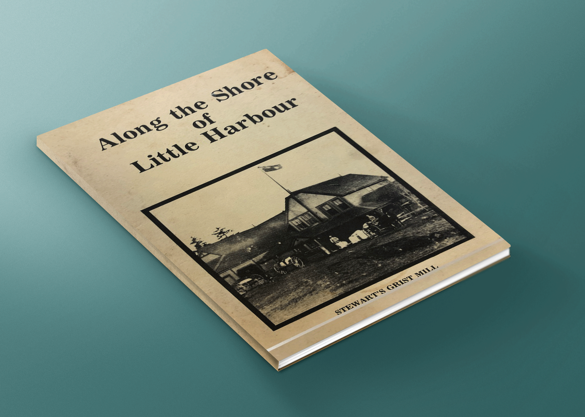
Along the shore of Little Harbour by Marie Cullen, Shirley Aikens, & Margaret Forbes, is a great resource for stories and history of Little Harbour and surroundings area (Anderson Mountain, Black Point, Boat Harbour, Chance Harbour, Kings Head, Little Harbour and Woodburn).
It provides details about many of the families that first settled the area, businesses, industry, hard ships, churches, schools, fire stations, and more. This book is now available to read online.
[Sources: Nova Scotia Place Names – T. Brown / Places of Nova Scotia – C. Bruce Fergusson / Along the shore of Little Harbour – Marie Cullen, Shirley Aikens, & Margaret Forbes]
1879 Chance Harbour Map
Disclaimer
Historic details included in the Pictou County Place Names Atlas will always include source of information when available, and is intended for educational purposes (we have not taken the time to validate any claims).
Links to other sites and historic resources are shared for informational purposes; they do not necessary constitute an endorsement or an approval by PictouCounty.net. We have no control over the content on any other sites (as people can change content from time to time). We make no claims or guarantees about the accuracy or currency of the contents and expressly disclaim liability for errors and omissions in its contents.
You understand and agree that any material downloaded or otherwise obtained through the use of this website is done so, at your own risk and discretion and that you will be solely responsible for any damages to your computer system (or electronic device) or loss of data that may result from downloading any such material (or sites linked to from this site).


