Pictou County Atlas

Hydrographic Features: Lake

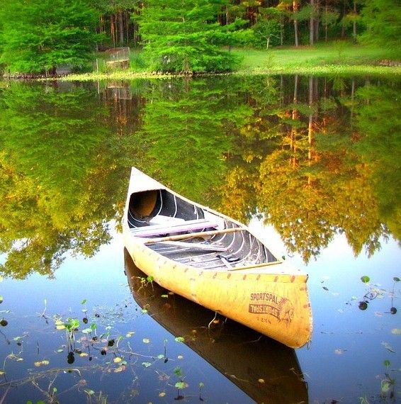
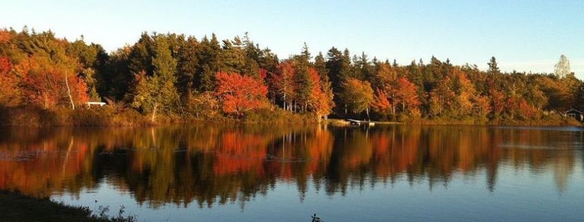
A lake is a relatively large, enclosed body of standing water surrounded by land.  They shape the county’s ecology, settlement history, and recreational identity. MacPhersons Lake They form in natural depressions created by glacial activity, tectonic shifts, river cutoffs, or human-made dams.

Lakes are distinguished from ponds by their larger size and depth, and they play a critical role in the hydrological cycle, storing freshwater, regulating stream flow, and supporting aquatic ecosystems.

Most lakes in Pictou County are freshwater, fed by streams, brooks, or rivers, and they often drain into larger river systems or directly into the Northumberland Strait. Lakes are central to recreation (swimming, canoeing, angling) and conservation, supporting both tourism and ecological stewardship.

Note: Not all Hydrographic Features have official place names, nor have all names included in the Canadian Geographic Names Database., if you know of some with local names that we have missed, then we encourage you to share that information with us so we can add the info to the atlas.

Hydrographic Feature Sub Categories: Banks  /  Bays  / Brooks (Creeks)  / Channels  / Coves  /  Entrance (Passages) / Guts  / Harbours  / Lakes  / Ponds  /  Pools (Stillwaters)  /  Rivers  /  Sluice  / Water Falls / Other

Click here to return to the Pictou County Place Names Atlas

Some official place names in the Pictou County Atlas related to Lakes include:

Garvies Lake

Garvies Lake

Garvies Lake is a small inland lake located in the south eastern corner of Pictou County, in the community of Black Brook. The water here feeds the headwaters of East Branch Donny Brook.

The name was formerly known as Garvie Lake until a name change in 1976.

MacEacherns Lake

MacEacherns Lake

MacEacherns Lake is a small inland lake that sits amid mixed Acadian forest and rolling uplands, it straddles the community of Black Brook and Indian Lake Woodland Area. This small freshwater lake formed in local topographic depressions, fed by small brooks, groundwater seepage, and seasonal runoff from surrounding uplands of the Kepoch area.

The name was formerly known as McIsaac Lake until a name change in 1976.

Vameys Lake aerial view

Vameys Lake

 Vameys Lake is a quiet hidden gem nestled in the wooded hills of the community of Baileys Brook, offering scenic beauty, with a glimpse of renewable energy infrastructure nearby (from the Glen Dhu wind farm).

Grandfathers Lake

Grandfathers Lake

Grandfathers Lake is a small freshwater lake located in the community of Mount Thom west of Botany Bay Lake.  The surrounding terrain is typical of the Cobequid uplands; forested, hilly, and shaped by glacial deposits. The lake itself is modest in size and elevation, forming part of a network of small lakes and brooks that drain toward  tributaries of the Stewiacke system. Its remote setting and natural shoreline make it a quiet destination for anglers, hikers, and outdoor enthusiasts seeking solitude in the county’s interior.

Jenny Lake

Jenny Lake

Jenny Lake intersects the communities of Lansdowne Station and West River Station. It is a small freshwater lake located within a landscape of mixed forest, rolling uplands, and scattered rural settlements, the lake forms part of the county’s extensive network of inland water bodies. Like many lakes in this region, Jenny Lake occupies a natural depression shaped by glacial processes, fed by local runoff and small brooks that drain toward larger watershed systems flowing toward the Northumberland Strait.

Charlie Lake

Charlie Lake

Charlie Lake is a fresh water lake located in the community of Sunny Brae, just west of NS Highway 348.

Crosby Lake

Crosby Lake

Crosby Lake is a fresh water lake located in the community of Sutherlands River, just south of Highway 4.

Carews Lake

Carews Lake

Carews Lake is a fresh water lake located in the communities of Woodfield and Broadway