River John, Nova Scotia
- Official Community Name: River John
- Gaelic Name:Abhainn Eòin
- Latitude / Longitude: 45.751519, -63.059043
- NTS Map Number: 011E14
- 1879 Pictou County Atlas: Section 4
- Nova Scotia Land Grant Map Number: NS Land Grant map 085
- Nova Scotia 1:10k Topographic Map Number: 1045750063000 (River John)

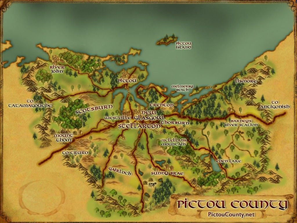
River John is a community located along the Northumberland Strait at the mouth of River John where it empties into John Bay. It was named after an early settler, John Patuguin.
The Mi’kmaq name for the community is “Kajeboogwek” meaning flowing through desert or solitary place. Other early names for the area were Deception River, and John’s River.
The name River John was probably derived from Riviere Jaune. Frederick
DesBarres who explored the area in the 1760’s and published maps in the 1770’s, used the names ” River John” and “Cape John.”
The place may have been settled by George and John Patriquin as early as 1785. George Langile settled here about 1791 and about 1800 George Jeanperin moved here from St. Margarets Bay and bought a farm.
In 1806 there were at least twelve settlers here and in 1809 fourteen settlers petitioned for clear title to their land when the old Philadelohia Grant was
escheated.

A school-house was built by 1818, then replaced by a new school in 1866. A more modern four-room school was built 1906.
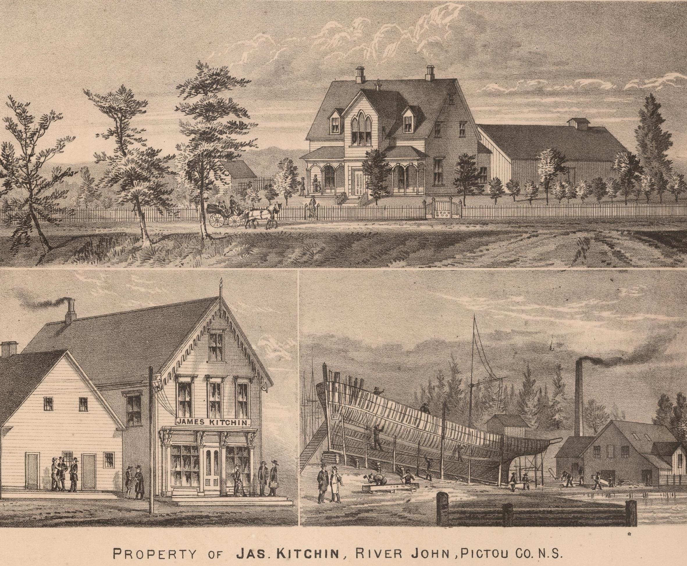
The shipbuilding industry began in 1825 and was a major endeavor for seventy years. In 1842, however, an economic decline was being felt, and fishing become the main industry.
A postal way office was established in 1838 and a post office was set up in 1853.
Newspapers published here were The Pioneer in 1878, and The Temperance Herald in 1864.
In July, 1849, a forest fire did considerable damage to the community and surrounding area.
A short railway line was constructed through the area south of the village in 1888.
Population in 1956 was 526.

[Source: Nova Scotia Place Names – T. Brown / Places of Nova Scotia – C. Bruce Fergusson ]
Disclaimer
Historic details included in the Pictou County Place Names Atlas will always include source of information when available, and is intended for educational purposes (we have not taken the time to validate any claims).
Links to other sites and historic resources are shared for informational purposes; they do not necessary constitute an endorsement or an approval by PictouCounty.net. We have no control over the content on any other sites (as people can change content from time to time). We make no claims or guarantees about the accuracy or currency of the contents and expressly disclaim liability for errors and omissions in its contents.
You understand and agree that any material downloaded or otherwise obtained through the use of this website is done so, at your own risk and discretion and that you will be solely responsible for any damages to your computer system (or electronic device) or loss of data that may result from downloading any such material (or sites linked to from this site).


