
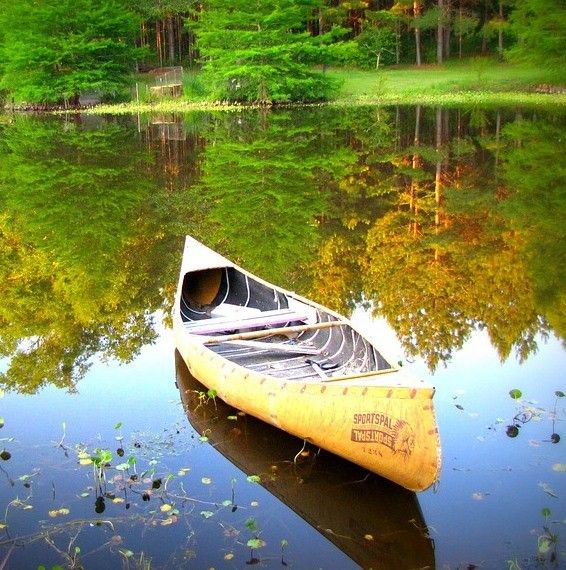
Freshwater lakes are typically inland bodies of water, typically formed from depressions in the earth’s surface. They are bounded by sills, and usually fed by streams, brooks, or rivers from the surrounding region. Lakes provide great places to swim, fish, canoe, and generally relax.
Pictou County is dominantly made up of rural areas and contains an abundant amount of fresh water lakes and streams found all across its geography.
Lake Inventory Maps
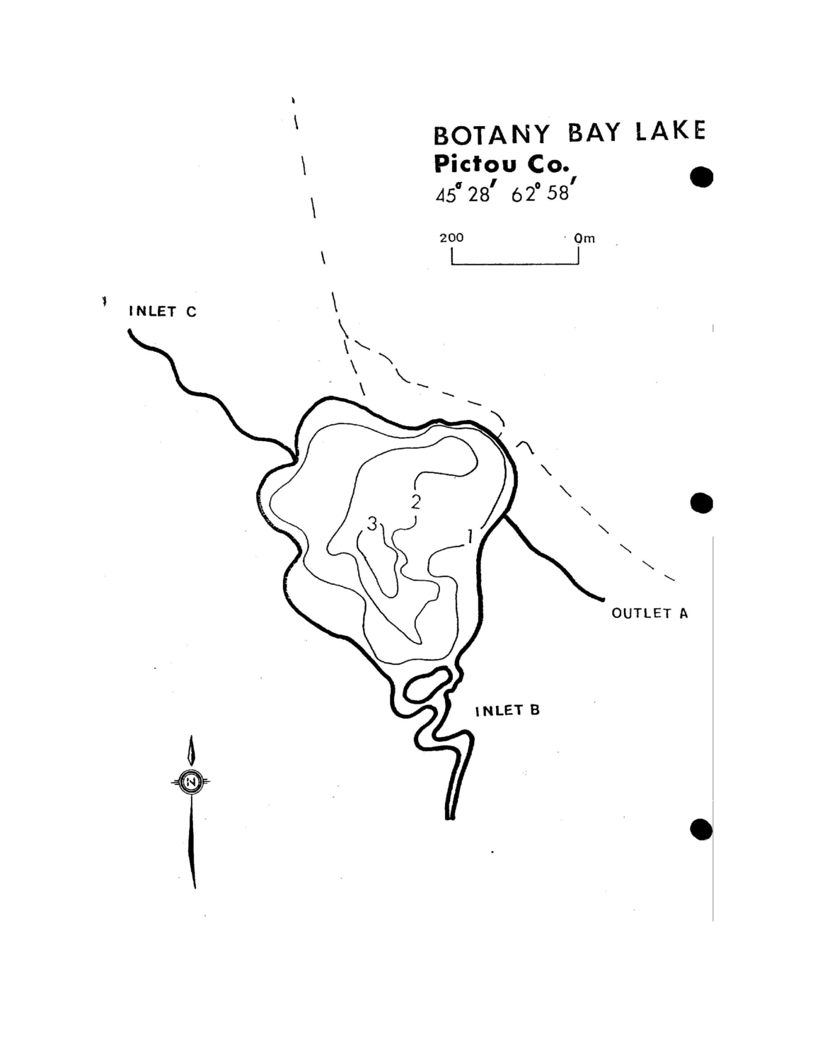
The Province of Nova Scotia maintains fresh water lake inventory data on over 1000 lakes in Nova Scotia. From that they generate lake inventory maps, that display basic depth contours. Some of the maps also contain data on water quality, fish species, recent stocking history and other information.
Nova Scotia Fisheries and Aquaculture provides paper copies of lake inventory maps to the public (by request), and some of those maps have been made into PDF digital versions that available to download. Click here for details on how to obtain paper copies.
Botany Bay Lake
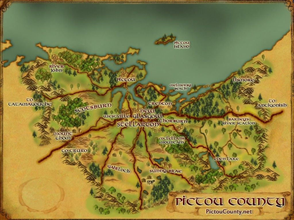
- Botany Bay Lake 45.476027°N 62.962388°W – Map sheet 011E07 Botany Bay Lake is located west of Watervale (close to the Pictou County boundary), and south of the Trans Canada Highway in Mount Thom (Jacks Meadow area). The lake inventory map for this Botany Bay Lake is shown below, and also available to download online (PDF).
Disclaimer
We are not the creator of all the cartographic mapping products featured on this page, and are simply helping them get more public exposure (always refer to the listed source for specific details about a map or data).
Remember, the maps provided on PictouCounty.net are meant for general informational and educational purposes only. They are non authoritative and should not be used for defining boundaries or any other legal purposes. Although we are cartographers and do create many maps for this site, sometimes we are providing information about maps created by others. However, we do our best to provide details about any maps shared, including references to both the creators and map providers.
By using PictouCounty.net, you are acknowledging and accepting all inherent limitations of any maps or data included on this site. We make no claims or guarantees about the accuracy or currency of the contents of this website and expressly disclaim liability for errors and omissions in its contents.
You understand and agree that any material downloaded or otherwise obtained through the use of this website is done so, at your own risk and discretion and that you will be solely responsible for any damages to your computer system (or electronic device) or loss of data that may result from downloading any such material (or sites linked to from this site).

