Tag Archive for: LiDAR

Little Harbour - Pictou County

Little Harbour

Little Harbour is a rural coastal community located along the Northumberland Strait on the south side of Little Harbour. Mi’kmaq name for the area is “Menpekwik” meaning Erosion. The Acadians lived here during the early 1700’s. Settlers from the British Isles didn’t arrive till around 1773. Little harbour is also a hydrographic feature. Learn more about Little Harbour …

Melmerby Beach

Melmerby Beach

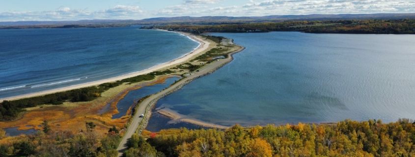
Melmerby Beach is a 2 km long sandy beach located north east of Little Harbour. It was named after the ship Melmervey that was wrecked on the just off shore in 1890, and over the years the spelling changed to Melmerby. The bBeach is one of Nova Scotia’s popular summer destinations, well known for its relatively warm water, (averaging over 19° C in the summer). The small coastal community of Melmerby Beach is located on Roy Island, connected to the main land by the 2 km long sandy spit. Learn about Melmerby Beach …

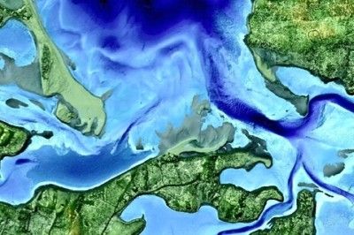
Melberby Beach Provincial Park Little Harbour 3D LIDAR

Melmerby Beach – Little Harbour 3D LIDAR

Little Harbour area including Melberby Beach Provincial Park LiDAR data penetrating the water, showing the seabed and provides detailed elevations. This data can be used to …