
Piedmont, Nova Scotia
Piedmont Geography
- Official Community Name: Piedmont
- Geographic Feature Type Category: Populated Place
- Geographic Feature Type: Community
- Postal Code: B0K 1G0
- Latitude / Longitude: 45.605917, -62.372257
Piedmont Maps
- NTS Map Number: 011E09
- 1:250k Topographic NTS Map: 011E
- 1879 Pictou County Atlas: Section 21
- Nova Scotia Land Grant Map Number: NS Land Grant map 093
- Nova Scotia 1:10k Topographic Map Number: 1045600062300 (Brownsville)
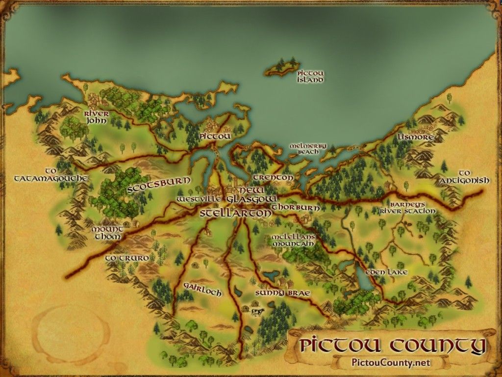
- Other Maps:

About Piedmont
Piedmont is a rural community is located east of Merigomish. Later the name was given for its location at the foot of a range of hills.
It was settled about 1810-1816 by James Haggart of Kenmore, Scotland, and others from Blair Athole, Scotland.
A Methodist Church was dedicated in 1884, and a postal way office was established in 1861.
A rail station was built Piedmont in 1880.
A school-house was built before 1885.
Cummings Furniture factory was built between 1868 and 1883.
Population in 1956 was 56.
Using the crowd sourced Find a Grave App, you can search names, photos and more from the Piedmont Cemetery
Roads located within the community include:
- Browns Mill Road
- Forbes Mill Road
- Fraser Cross Road
- Piedmont Valley Road
Other official place names located in Piedmont include:


The History of Barneys River written by H. H. Bruce in 1886, illustrates early settlement of Barney’s River and surrounding areas (Lower Barneys River, Avondale, Piedmont, Upper Barneys River). A compelling blend of biographical sketches, oral histories, and vivid anecdotes that together help paint a rich portrait of early pioneer life among Scottish Highland immigrants who arrived in the region around the early 1820s.
With both a genealogical and historical purpose, Bruce writes so that future generations may learn something of their ancestry, and includes stories about the Stewarts, Robinsons, Dewars, Gordons, McLeans, McKays, Sutherlands, and others.
[Source: Nova Scotia Place Names – T. Brown / Places of Nova Scotia – C. Bruce Fergusson / History of Barney’s River Early Days in East Pictou – H. H. Bruce]
Disclaimer
Historic details included in the Pictou County Place Names Atlas will always include source of information when available, and is intended for educational purposes (we have not taken the time to validate any claims).
Links to other sites and historic resources are shared for informational purposes; they do not necessary constitute an endorsement or an approval by PictouCounty.net. We have no control over the content on any other sites (as people can change content from time to time). We make no claims or guarantees about the accuracy or currency of the contents and expressly disclaim liability for errors and omissions in its contents.
You understand and agree that any material downloaded or otherwise obtained through the use of this website is done so, at your own risk and discretion and that you will be solely responsible for any damages to your computer system (or electronic device) or loss of data that may result from downloading any such material (or sites linked to from this site).

