
Pictou Landing, Nova Scotia
Pictou Landing Geography
- Official Name: Pictou Landing
- Gaelic Name:Àite An Luchd-Àiteachaidh
- Geographic Feature Type Category: Administrative Area
- Geographic Feature Type: Community
- Latitude / Longitude: 45.672064, -62.677958
Pictou Landing Maps
- 1:50k Topographic NTS Map: 011E10
- 1879 Pictou County Atlas Map: Section 1
- Nova Scotia Land Grant Map: NS Land Grant map 092
- Nova Scotia 1:10k Topographic Map: 1045650062600 (Pictou)
- Other Maps:
- Mineral Resource Land Use Map 011E10
- High Resolution Orthophotography

Pictou Landing is located along the east side of Pictou Harbour, across from the Town of Pictou. It was named because it was the landing place for ferries crossing the harbour from Pictou.
The land was included in a grant made in 1765 to John Fisher, hence an early name for the area was also known as Fishers Grant.
Settlement began in the area soon after the Hector arrived in 1773. About 1783, Lieutenant colonel Robertson of the 82nd Regiment sent disbanded troops to the possession of Fishers Grant, “on which people had already settled for many years prior to that”. A town plan had been laid out here for members of the disbanded 82nd Regiment from the American War but it never became more than a plan.
A stone house, built by Captain Donald McDonald in 1835 was still standing in the area around the 1950’s.
A Presbyterian Church was opened in 1873. Bethesda Kirk was opened in 1882.
A postal way office was established in 1867.
A rail line was completed from New Glasgow to Pictou Landing in 1866, and operated for several years until coal shipments to the loading pier ceased. The rail line is shown on the detailed 1879 map of the area. Several ferries provided transportation across the harbour to Pictou.
An aerial photo map of the area from 2017 (centered around Boat Harbour) is available to download from Natural resources Canada.
Population in 1956 was 367.
[Source: Nova Scotia Place Names – T. Brown / Places of Nova Scotia – C. Bruce Fergusson ]
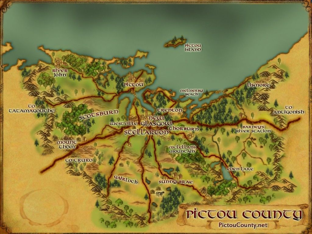
1879 Pictou Landing Map

Disclaimer
Historic details included in the Pictou County Place Names Atlas will always include source of information when available, and is intended for educational purposes (we have not taken the time to validate any claims).
Links to other sites and historic resources are shared for informational purposes; they do not necessary constitute an endorsement or an approval by PictouCounty.net. We have no control over the content on any other sites (as people can change content from time to time). We make no claims or guarantees about the accuracy or currency of the contents and expressly disclaim liability for errors and omissions in its contents.
You understand and agree that any material downloaded or otherwise obtained through the use of this website is done so, at your own risk and discretion and that you will be solely responsible for any damages to your computer system (or electronic device) or loss of data that may result from downloading any such material (or sites linked to from this site).

