Pictou County Atlas
A Window into History and Geography
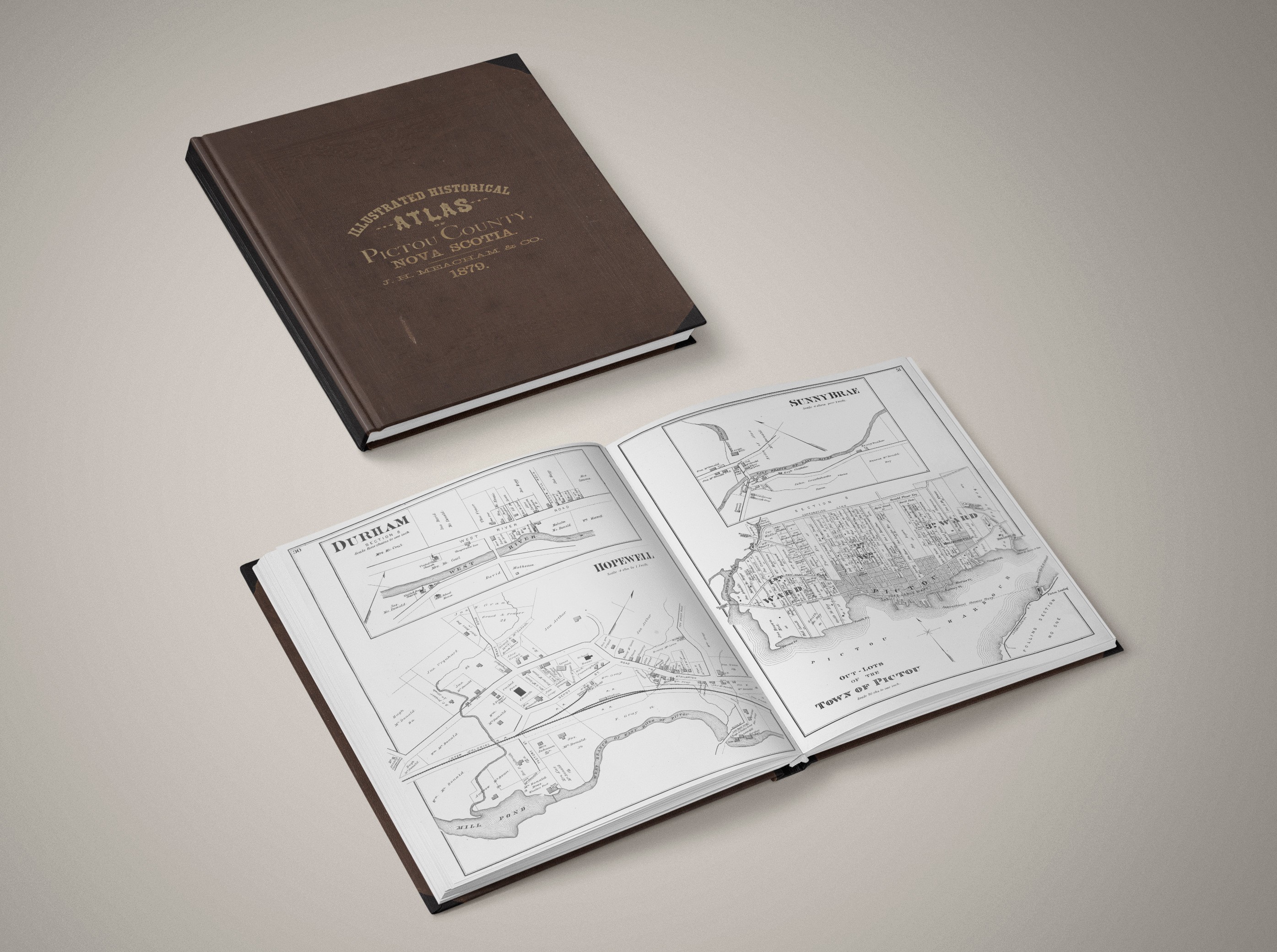
The Pictou County Atlas brings together a wide collection of maps, geographic data, historical records, and related information designed both as a reference and an educational tool. Much like the 1879 Historical Atlas of Pictou County illustrated what Pictou County’s early communities looked like through maps, illustrations, and historical notes, our modern digital Pictou County Atlas aims to do the same for the communities of today’s generation.
The region has a rich Maritime History, and contains close to 200 km of shorelines. The first settlers here were primarily of Scottish and English descents. Pictou County became a destination for waves of Scottish immigrants, often referred to as the “Pictou Scots,” who were fleeing poverty and overpopulation in Scotland. They arrived in the late 1700s and early 1800s, primarily to work in the county’s timber, fishing, and shipbuilding industries.
Pictou County place names are derived from a mosaic of natural description, cultural heritage, notable people, geography, and industrial history. Far more than just simple labels on road signs or maps, they help provide keys to understanding Pictou County’s past, its geography, and its evolving cultural identity.
The study of place names (known as toponymy), explores place name origins, their meanings, and usage. Combined with resources like the Official Canadian Place Names database, toponymy can help reveal how generations of people interacted with the land and water of the Northern Nova Scotia region.
The name Pictou was derived from the Mi’kmaq word “piktook” meaning “explosive place” or “place of explosions” – a reference to the noise caused by the tidal bore action located within Pictou Harbor.
Pictou County Place Names preserve the layered history of Scottish settlers, the Mi’kmaq People, Acadians, and the later evolved industrial communities. Many place names are tied directly to descriptions of the terrain or hydrography. They can often be descriptive place names (Merigomish Harbour, from the Mi’kmaw word meaning “place of merrymaking”), commemorative names (Baileys Brook named after a disbanded soldier from the 82nd Regiment), or simply functional words (Shipyard Point, linked to Trenton’s industrial past).
Pictou County Atlas
This digital atlas was built from a wide range of sources: archival documents, published works, the Official Canadian Place Names database, and local contributions. From historical commemorations, and industrial landmarks to quiet family connections, each name tells a story. It reminds us that maps are not merely instruments, but they are cultural documents, preserving the voices of those who came before us. By comparing historical maps with modern ones, researchers can trace how names have shifted, disappeared, or been standardized over time.
Currently, the Pictou County atlas includes over 750 Pictou County Place Names (from populated places, to terrain and hydrographic features), hundreds of maps, digital books, photos, videos, links, and continues to grow as information is gathered.
Use the categories listed below to narrow your search, or explore specific places using the sidebar search tools.
Pictou County Place Names Atlas
Pictou County Administrative Areas:
Conservation Areas / Game Sanctuaries / Indian Reserves / Nature Reserves / Municipality / Protected Beaches / Provincial Parks / Wildlife Management Areas / Wilderness Area
Pictou County Populated Places:
Communities / Localities / Neighbourhoods / Towns / Woodland Area / Railway Point
Pictou County Terrain Features:
Terrain Features Sub Categories: Beach / Cape / Head / Hill / Island (Islet) / Mount (Mountain) / Patch, Point / Reef (Rocks / Shoal) / Spit / Valley / Vegetation
Pictou County Hydrographic Features:
Hydrographic Feature Sub Categories: Banks / Bays / Brooks (Creeks) / Channels / Coves / Entrance (Passages) / Guts / Harbours / Lakes / Ponds / Pools (Stillwaters) / Rivers / Sluice / Water Falls / Other
Pictou County Maps:
Historic Maps / Topographic Maps / Lake Maps / Land-Use Maps / Online Maps / Geospatial Data / Aerial Photography / Other Maps
