
Little River, Nova Scotia
Little River Geography
- Official Name: Little River
- Geographic Feature Type Category: Hydrographic Feature
- Geographic Feature Type: River
- Affiliated Communities: Eden Lake / Moose River
- Latitude / Longitude: 45.394545, -62.352521
Little River Maps
- 1:50k Topographic NTS Maps: 011E08
- 1:250k Topographic NTS Map: 011E
- 1879 Pictou County Atlas: Section 22
- Nova Scotia Land Grant Map Number: Crown Land Grant Map 094
- Nova Scotia 1:10k Topographic Map Number: 1045400062200 (Eden Lake)

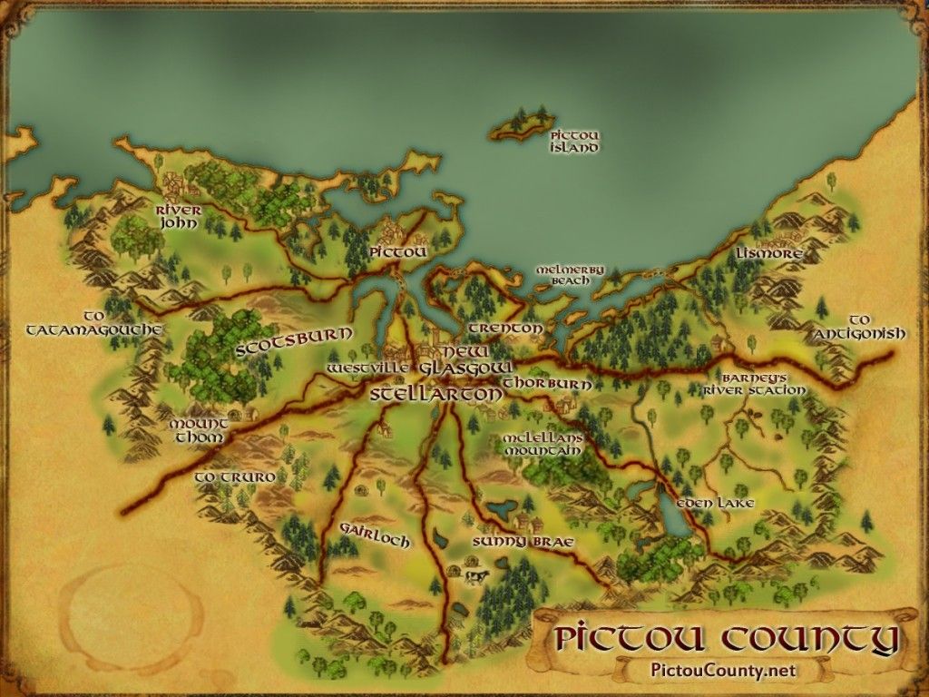
About Little River
Little River is a small fresh water way that flows between Sutherlands Lake and Hunters Lake.

The name Little River in Pictou County can also refer to a wide channel in the East River of Pictou located around the Plymouth and Stellarton area of the river.
Disclaimer
Historic details included in the Pictou County Place Names Atlas will always include source of information when available, and is intended for educational purposes (we have not taken the time to validate any claims).
Links to other sites and historic resources are shared for informational purposes; they do not necessary constitute an endorsement or an approval by PictouCounty.net. We have no control over the content on any other sites (as people can change content from time to time). We make no claims or guarantees about the accuracy or currency of the contents and expressly disclaim liability for errors and omissions in its contents.
You understand and agree that any material downloaded or otherwise obtained through the use of this website is done so, at your own risk and discretion and that you will be solely responsible for any damages to your computer system (or electronic device) or loss of data that may result from downloading any such material (or sites linked to from this site).

