

Big Island , Pictou County
Big Island, a small rural community in Pictou County, it is considered to be a barrier island system, formed of sand and gravel, with a mix of dunes, salt marshes, fertile farm land, and a long north-facing beach. Its natural causeway connects it to the mainland, though historically this was a tidal crossing before several man-made road improvements. These improvements over time have made the community accessible by road yet still having the sense of being apart from the bustle of the mainland.
Though often referred to interchangeably with the island itself, “Big Island” is actually the official name of the community, while the landform is officially known as Big Merigomish Island. Its geography—low-lying dunes, salt marshes, and long sandy beaches—has shaped both its settlement patterns and its enduring appeal as a seasonal retreat.
Historically, Big Island was home to farming and fishing families who relied on the fertile soils and rich inshore waters of the Northumberland Strait. Over time, as with many coastal communities in northern Nova Scotia, permanent settlement declined, but the island retained its cultural and historical significance.
Today, Big Island is best known for its natural beauty and recreational opportunities. The sweeping sandy beach along the island’s north shore is a popular destination for locals and visitors alike, offering warm summer swimming, beachcombing, and birdwatching. At low tide, sandbars and shallow lagoons appear, creating a dynamic landscape that shifts with the sea.
Click here to find out more details about the community of Big Island. and scroll further down this page to browse the Big Island Map.
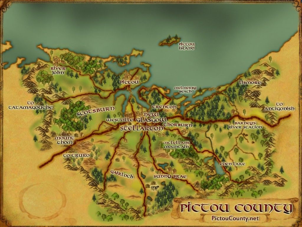
Geographic places in the community of Big Island located on the map include:
Click any links above to reveal more geographical information about that place …
Other places found on the map (but outside of the community of Big Island ) include:
-
- Barneys Point
- Barneys River
- Burying Ground Point
- Brownsville
- Balmoral Brook
- Cemetery Point
- Chisholm Brook
- Finlaysons Island
- French Point
- French River
- Hardwood Point
- Huggans Brook
- Huggans Gut
- Kerr Point
- Lower Barneys River
- Merigomish
- Murrays Point
- Pattersons Point
- Smith Brook
- Smith Gut
- Smith Point
Community of Big Island Map
The Big Island map shown below was created by combining modified topographic data, community details, and a shaded relief model to depict terrain features.
The underlying geospatial data used in this map originates from the Nova Scotia Topographic Database (NSTDB), freely available to the public under an open government license. Topographic data features were interpolated from aerial photography acquired in 2003 and terrain features were generated from Lidar data acquired in 2020.
Click here to Download the Big Island Map, or scroll down a little further on this page to browse the map online, zoom into specific areas, print et.
- Title: Map of the Community of Big Island
- Creator: PictouCounty.net
- Date: 2024
- Size: 43.18 x 27.94 cm
Disclaimer
This customized map was created by combining modified topographic data, community details, and a shaded relief model to depict terrain features. The underlying geospatial data used in this map originates from the Nova Scotia Topographic Database (NSTDB), freely available to the public under an open government license. Topographic data features was interpolated from aerial photography acquired in 2003 and terrain features were generated from Lidar data acquired in 2017. The size that will provide true scale and optimum readability for this map is 915 mm by 609 mm.
While every effort is made to ensure that the information included on this map is accurate, the map is provided “as is” and intended for general information purposes. This map should not be considered for legal advice and any reliance placed upon it is done so at one’s own risk. We accept no liability for any loss, damage or inconvenience that may result from reliance on the mapping.
We encourage users to report any errors, or missing details for this area, and/or to provide any comments or suggestions about this map.
Remember, the maps provided on PictouCounty.net are meant for general informational and educational purposes only. They are non authoritative and should not be used for defining boundaries or any other legal purposes. Although we are cartographers and do create many maps for this site, sometimes we are providing information about maps created by others. However, we do our best to provide details about any maps shared, including references to both the creators and map providers.
By using PictouCounty.net, you are acknowledging and accepting all inherent limitations of any maps or data included on this site. We make no claims or guarantees about the accuracy or currency of the contents of this website and expressly disclaim liability for errors and omissions in its contents.
You understand and agree that any material downloaded or otherwise obtained through the use of this website is done so, at your own risk and discretion and that you will be solely responsible for any damages to your computer system (or electronic device) or loss of data that may result from downloading any such material (or sites linked to from this site).

