
Bear Brook, Pictou County
Bear Brook, Nova Scotia (West Pictou)
Bear Brook Geography
- Official Name: Bear Brook
- Geographic Feature Type Category: Hydrographic Feature
- Geographic Feature Type: Brook
- Affiliated Communities: Alma, Mount William, Westville Road,
- Latitude / Longitude: 45.575046, -62.742112
Bear Brook Maps
Bear Brook, Nova Scotia (East Pictou)
-
Bear Brook Geography
- Official Name: Bear Brook
- Geographic Feature Type Category: Hydrographic Feature
- Geographic Feature Type: Brook
- Affiliated Communities: Barneys River Station, Marshy Hope
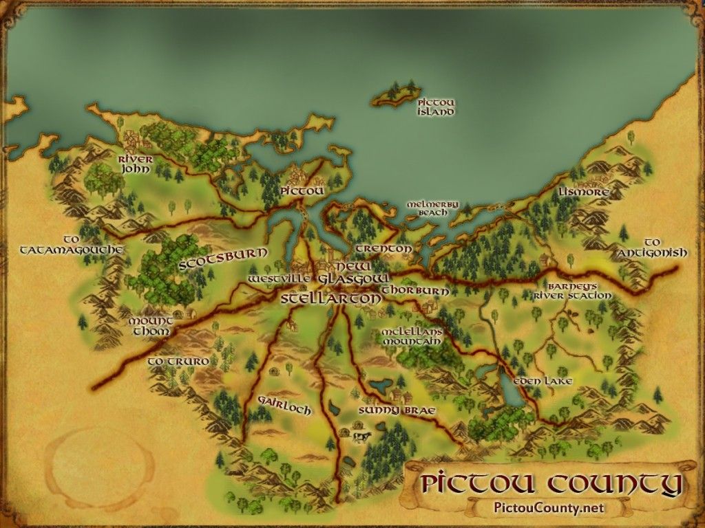
Maps
About Bear Brook
There are two brooks in Pictou County known as Bear Brook.
- one is located near the Mount William area and flows towards Alma into the Middle River of Pictou. Fox Brook and Waters Brook both flow into this tributary.
Before the main seam of coal was discovered in the Westville area about 1865, a previous small shaft was operated on the old Middle River Road, on the Westville side of the brook.
The Nova Scotia Coal and Steel Company also built a rail line from the mine in Westville down over Bear Brook and to the I.C.R. near Riverton. This line was eventually torn up in 1887, (the old roadbed was used for many years as a rifle range).
In 2012 the Pictou County Rivers Association completed a restoration project on this brook that involved the placement of armour stone, trees, and grass. - the second is located on the west side of the Browns Mountain Range, and flows south west towards Barneys River Station into Barneys River.
This brook also influenced the name of a geologic stratigraphy, the Bear Brook Formation, which consists of andesite and rhyolite glows, tuffs, tuffaceous sandstones and conglomerates. The following geological paper contains more information on the geology of this area. A geocache is hidden at Bear Brook near the Marshy Hope area.

Pictou County once contained more brooks with this name. Mill Brook was originally called Bear Brook after Thomas and John Fraser trapped a large bear there on their first visit. It was however later renamed to Mill Brook in 1808 because of a mill built there.
Sources
Nova Scotia Place Names – T. Brown / History of Westville – A. Roy / Pictou County Rivers Association / novascotia.ca
Disclaimer
Historic details included in the Pictou County Place Names Atlas will always include source of information when available, and is intended for educational purposes (we have not taken the time to validate any claims).
Links to other sites and historic resources are shared for informational purposes; they do not necessary constitute an endorsement or an approval by PictouCounty.net. We have no control over the content on any other sites (as people can change content from time to time). We make no claims or guarantees about the accuracy or currency of the contents and expressly disclaim liability for errors and omissions in its contents.
You understand and agree that any material downloaded or otherwise obtained through the use of this website is done so, at your own risk and discretion and that you will be solely responsible for any damages to your computer system (or electronic device) or loss of data that may result from downloading any such material (or sites linked to from this site).

