
Alma, Pictou County
Alma, Nova Scotia
Alma Geography
- Official Name: Alma
- Geographic Feature Type Category: Populated Place
- Geographic Feature Type: Community
- Postal Code: B0K 2A0
- Latitude / Longitude: 45.578384, -62.760316
Alma Maps
- 1:50k Topographic NTS Map: 011E10
- 1:250k Topographic NTS Map: 011E
- 1879 Pictou County Atlas Map: Section 18 (north part)
- Nova Scotia Land Grant Map: NS Land Grant map 086 / NS Land Grant map 087
- Nova Scotia 1:10k Topographic Map: 1045550062700 (Westville)
- Other Maps:
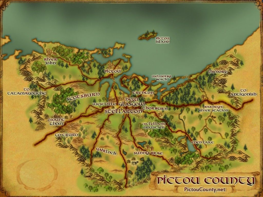
About Alma Nova Scotia
Alma is a rural community located at the head of the Middle River, northwest of the Town of Westville. Named in commemoration of the 1854 Battle of Alma during the Crimean War, the community developed over the years through agriculture, forestry, and its strategic position along the Stellarton – Pictou railway line. Today, Alma remains a quiet inland settlement characterized by rolling uplands, historic farms, and strong ties to neighbouring communities such as Granton, Green Hill, and Westville.
Early settlers established farms along the Middle River, clearing land for crops and livestock. Families of MacDonalds, Crocketts, Frasers, Camerons, MacKenzies, (and others) helped shape the area’s farms, businesses, and institutions. Churches, one‑room schoolhouses, Women’s Institutes, and volunteer fire services all contributed to community identity.
Alma sits within the Middle River watershed, where small tributaries (Brown Brook and Bear Brook) flow through mixed Acadian forest toward the larger East River watershed. The landscape is shaped by glacial till, drumlins, and low ridges extending toward Green Hill, creating fertile pockets of farmland and forest lots typical of central Pictou County.
The Middle River supports brook trout and other freshwater species. Anglers have long frequented local pools and bends, especially during spring and early summer.
The first bridge built across the Middle River was in 1803.
A post office opened in 1855, marking the community’s emergence as a local service centre.
A public hall followed in 1880, serving as a venue for meetings, socials, and community events.

A railway between Stellarton and Pictou opened in 1887, with a railway station built here in the early 20th century. The line carried timber, farm goods, and limestone, and provided passenger service linking the area to the larger region. Rail activity declined over time, but remnants of the corridor remain visible along Old Alma Road and nearby fields.
The Trans Canada Highways passed through the community and was vital to the local economy here, but a new four-lane twinned Highway 104 section between Salt Springs and Alma was opened in 1999, bypassing the heart of the community. This reduced the number of people traveling through the community, but at the same time made it much safer for residents.
Northumberland Regional High School built in 2003.
Population in 1956 was 152.
A Historical Kiosk summarizing the history of the community was built in 2018. It is a large gazebo with a blue metal roof, that contains a large detailed panel. The Historical Kiosk also includes details about Green Hill and Sylvester.
Community Groups and Places Located within Alma Pictou County
Official place names located within the community include:
- Brown Brook
- Bear Brook
- Middle River
Community Links
Find a Grave provides details about cemeteries and individual memorials including names and some photos for Alma Cemetery

Roads located within the community include:
- Alma Loop
- Alma Road
- Daisy Lane
- Douglas Road
- Grandview Drive
- Granton Abercrombie Road
- Green Hill Road
- Hamilton Road
- Highway 104
- Highway 4
- Lighthouse Drive
- Old Alma Road
- Old School Lane
- Rose MacDonald Lane
- Van Veld Drive

For more local history see …
Early History of Alma and Green Hill by Myra Crockett, is a great resource for stories and local history. It provides details about many of the families that first settled the area, businesses, industry, hard ships, churches, schools, fire stations, and more. This book is available to download or read online.
Sources
Nova Scotia Place Names – T. Brown / Places of Nova Scotia – C. Bruce Fergusson / The Pictou Book: Stories of Our Past – George Mac Laren / A History of the County of Pictou, Nova Scotia – Rev. George Patterson / Early History of Alma and Green Hill – Myra Crockett
Disclaimer
Historic details included in the Pictou County Place Names Atlas will always include source of information when available, and is intended for educational purposes (we have not taken the time to validate any claims).
Links to other sites and historic resources are shared for informational purposes; they do not necessary constitute an endorsement or an approval by PictouCounty.net. We have no control over the content on any other sites (as people can change content from time to time). We make no claims or guarantees about the accuracy or currency of the contents and expressly disclaim liability for errors and omissions in its contents.
You understand and agree that any material downloaded or otherwise obtained through the use of this website is done so, at your own risk and discretion and that you will be solely responsible for any damages to your computer system (or electronic device) or loss of data that may result from downloading any such material (or sites linked to from this site).

